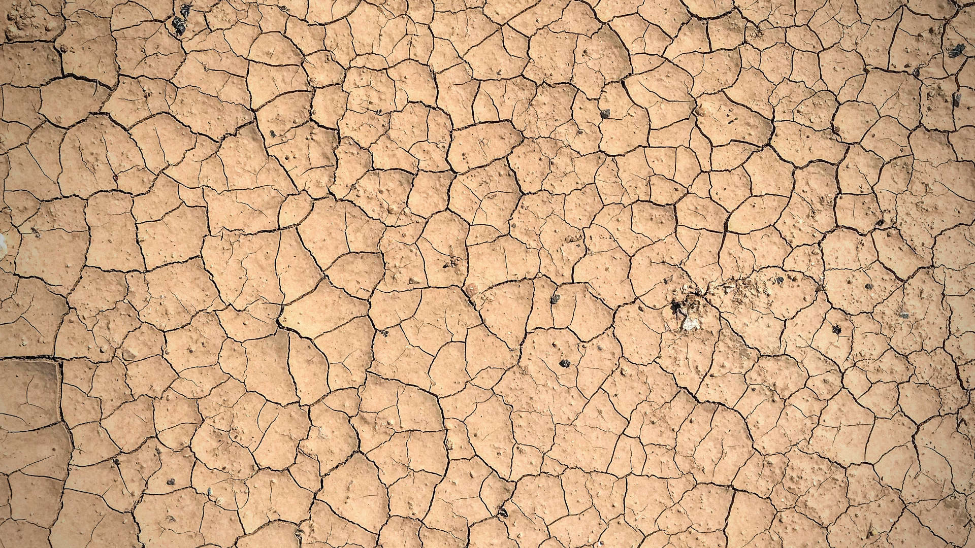
Wondering where to move? Or what climate risks you might be facing over the coming years? We've turned complex data sets into over 80 interactive maps so you can quickly identify high and low-risk areas across the country.
From environmental concerns like heat waves, drought, wildfires and flooding, to social factors like infrastructure, health, energy demand, and affordability, we've put all the information you need at your fingertips.
Includes data from: