
Maps
Winter Weather, Annualized Frequency [P]
Winter Weather, Risk Score [P]
Ice Storms, Annualized Frequency [P]
Ice Storms, Risk Score [P]
Data Sources
Further Information
These maps display the annualized frequency and risk scores for winter weather and ice storms in 2025.
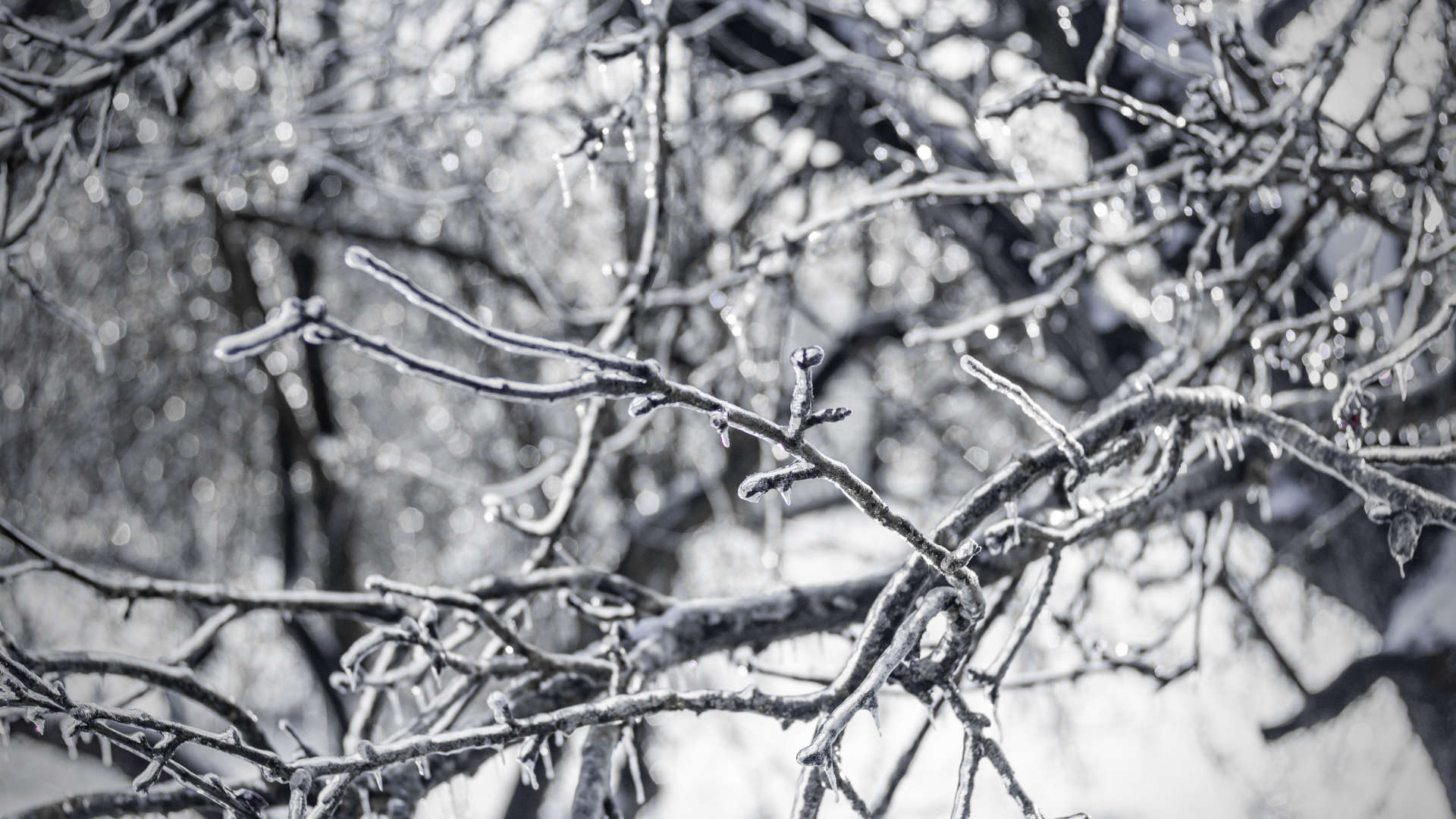
Winter weather is defined in this data as storm events where main types of precipitation are snow, sleet, or freezing rain; ice storms are defined as freezing rain with significant ice accumulations of 0.25 inches or greater.†
Winter weather is most predominant in the northern half of the country (and at higher altitudes), as both experience lower average temperatures and more days below freezing. Ice storms are more prevalent in the Midwest and Northeast, when liquid precipitation passes through a layer of freezing air and freezes on contact with the ground.†
Snow and freezing rain can seriously impact travel; about 70% of deaths from winter storms occur in automobile accidents.† Snow and ice can also down tree limbs and power lines, leaving people without electricity when they need it most. If you're unable to leave your home for days, a backup power source and/or non-electric methods of heating (such as gas or wood stoves) can keep you warm in the event of a power outage.† Having a week or more of dry and canned goods on hand is also recommended; perishable goods can simply be stored outside in freezing temperatures.†
The interaction between climate change and winter weather is complex; warming decreases the annual number of days below freezing, but when winter storms do occur, precipitation can be heavier due to greater levels of moisture in the air.† While severe snowstorms are still possible in a warming world, overall snowpack is projected to decline.†
