
Maps
Annualized Frequency [P]
Risk Score [P]
Data Sources
Further Information
These maps display the annualized frequency and risk scores for earthquakes in 2025.
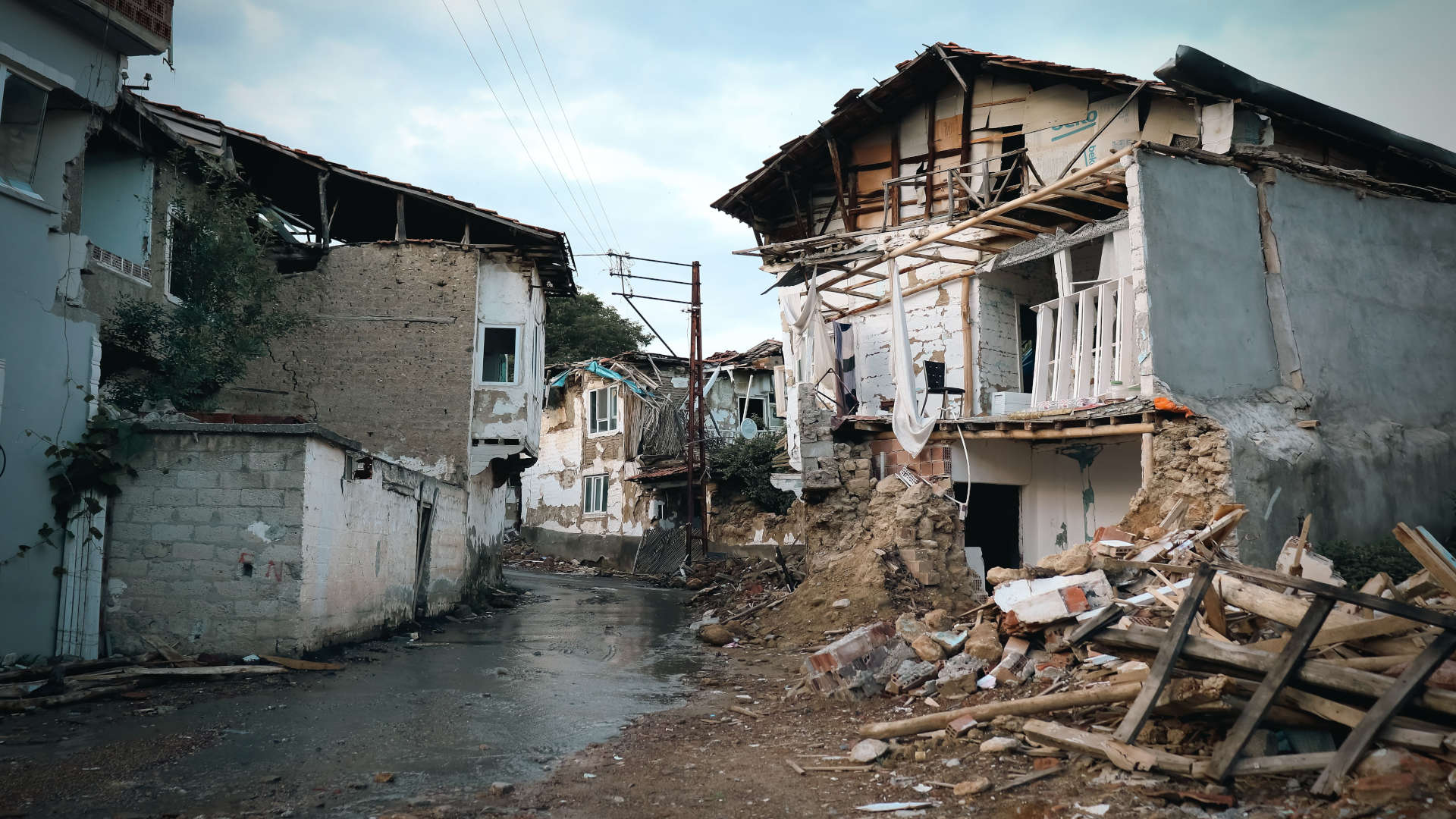
Earthquakes occur when tectonic plates suddenly slip along a fault line and release energy in waves that travel through the Earth's crust.† They're most prevalent along the West Coast, specifically in California and southern Alaska.† Earthquakes can cause soil liquefaction, landslides, fissures, avalanches, fires and tsunamis, but most deaths occur when buildings collapse on their inhabitants.† If an earthquake occurs while you're in a building, seek shelter under heavy furniture and stay away from windows; if you're outside, move away from tall buildings and anything that might fall and injure you.†
Seismic safety has been a part of building codes for over a century, but how they're implemented depends on your specific region.† If you live in a house that's over 30 years old in a region with high earthquake risk, we recommend having the property inspected and retrofitted if necessary.†
Earthquakes and climate change are unrelated, but we've included these maps as it's an important factor to consider when looking for a safer place to call home.
